


Tour du Mézenc - 05-09-2020

nolsim
User


Length
18.7 km

Max alt
1736 m

Uphill gradient
681 m
Km-Effort
28 km

Min alt
1320 m

Downhill gradient
682 m
Boucle
Yes
Creation date :
2020-09-05 06:45:29.737
Updated on :
2020-09-05 13:49:09.802
5h02
Difficulty : Medium

FREE GPS app for hiking
 SityTrail
IGN / Geographical institutes
SityTrail Plus
The world is yours!
About
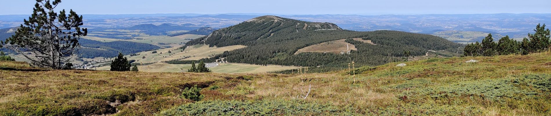
Trail Walking of 18.7 km to be discovered at Auvergne-Rhône-Alpes, Haute-Loire, Les Estables. This trail is proposed by nolsim.
Photos


Positioning
Country:
France
Region :
Auvergne-Rhône-Alpes
Department/Province :
Haute-Loire
Municipality :
Les Estables
Location:
Unknown
Start:(Dec)
Start:(UTM)
591239 ; 4972935 (31T) N.
Comments